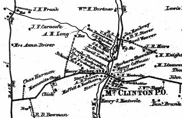
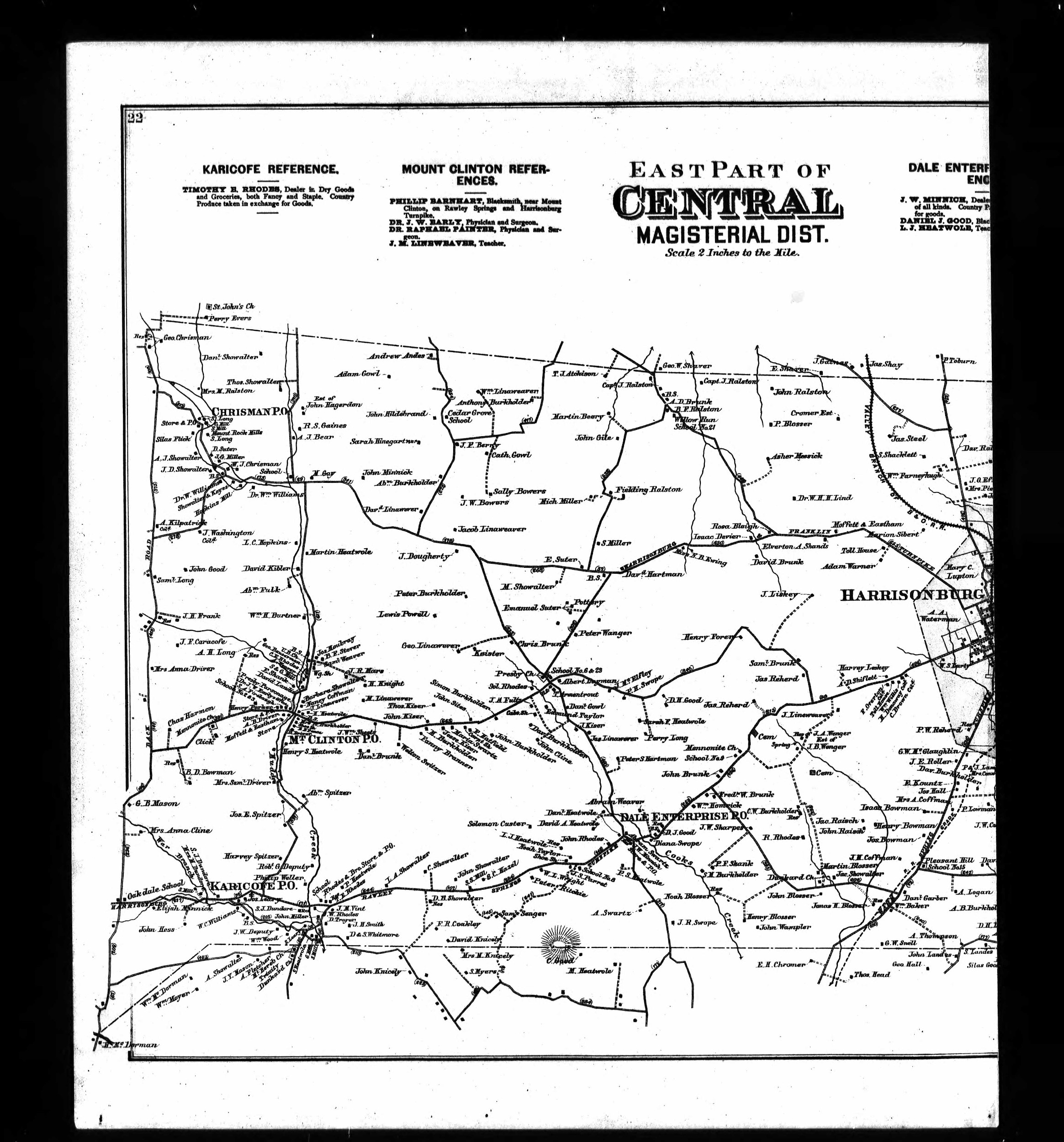
The farmhouse identified on the google map below represents the best guess based on the location for John F. Caricofe’s farm as identified on the Lathrop & Griffing Atlas of Rockingham County, VA from 1885. The exact boundaries of the farm proper are not currently known. It is possible that the house identified does not date to this time period – but the general location appears correct.
Latitude, Longitude: 38.501274, -78.967674
- Central Magisterial District
- Rockingham County
- Virginia
- United States of America
- Lathrop, J. M.; Griffing, B. N., Atlas of Rockingham County, Va., Philadelphia, Pennsylvania, 1885.
- Rockingham County Courthouse, State of Virginia, “Deed Book #75, Page 600, Deed of Partition for John A. Miller’s Heirs,” Rockingham County, VA. Accessed 2019.
- Harrisonburg Daily News-Record. 1933. “Obituary: Newton Michael Caricofe.” August 14th, 1933. Page unknown.
Full Location Name
John F. Caricofe Farm, Central Magisterial District, Rockingham County, Virginia, United States of America

